
Martin Petrásek
Co-Founder & Chief Technology Officer
Responsible for the project's technology concept, the navigation system architecture, app development, technical infrastructure and the advancement of navigation technology.

Next-Generation Navigation.
GaPeS is a modern navigation system for drivers, cyclists and pedestrians. We are building it for clarity, accuracy, smart route guidance and comfort on every journey.
In development – internal testing
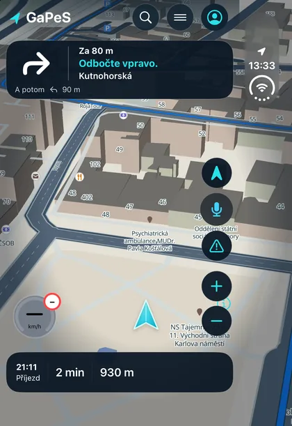
Driving, cycling and walking follow different rules. GaPeS plans and shows each kind of trip in its own way.
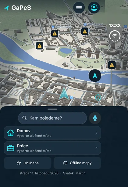
Cycling mode is still in development in the app. We will add screenshots once it is ready to show.
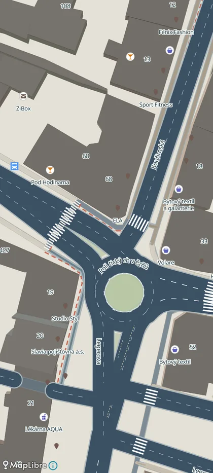
Drag the slider to compare day and night mode at the same place. Both are drawn by our app, not illustrated.
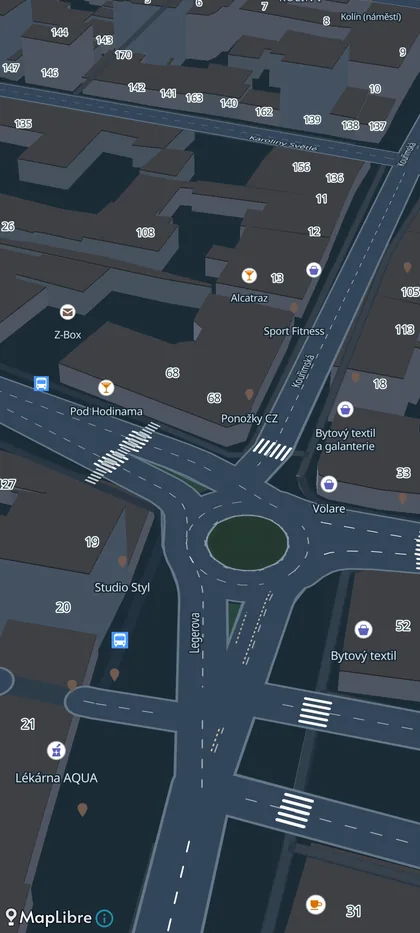
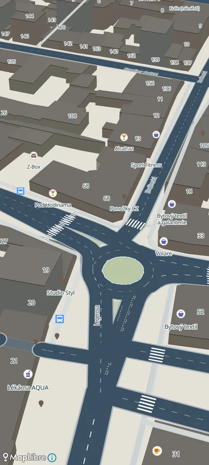
GaPeS is being built in the Czech Republic. Our goal is a navigation app that is modern, high-quality and intuitive, and that makes getting around by car, by bike and on foot easier.
We start where navigation most often lets people down: complex junctions, roundabouts and places where the right lane matters. Every feature is tried on real drives and refined based on what actually helps on the road.
Our maps are built on open OpenStreetMap data, enhanced with our own processing. We are extending coverage country by country. Where we cannot verify information yet, we would rather not show it.
GaPeS was founded by two equal partners.
Co-Founder & Chief Technology Officer
Responsible for the project's technology concept, the navigation system architecture, app development, technical infrastructure and the advancement of navigation technology.

Co-Founder & Chief Product Officer
Responsible for the product vision, navigation development, the user experience concept, hands-on validation of features and the product's direction.
The iPhone and Android apps are in internal testing. As soon as they are publicly available, you will find the store links here.